 Slope Minder
Press
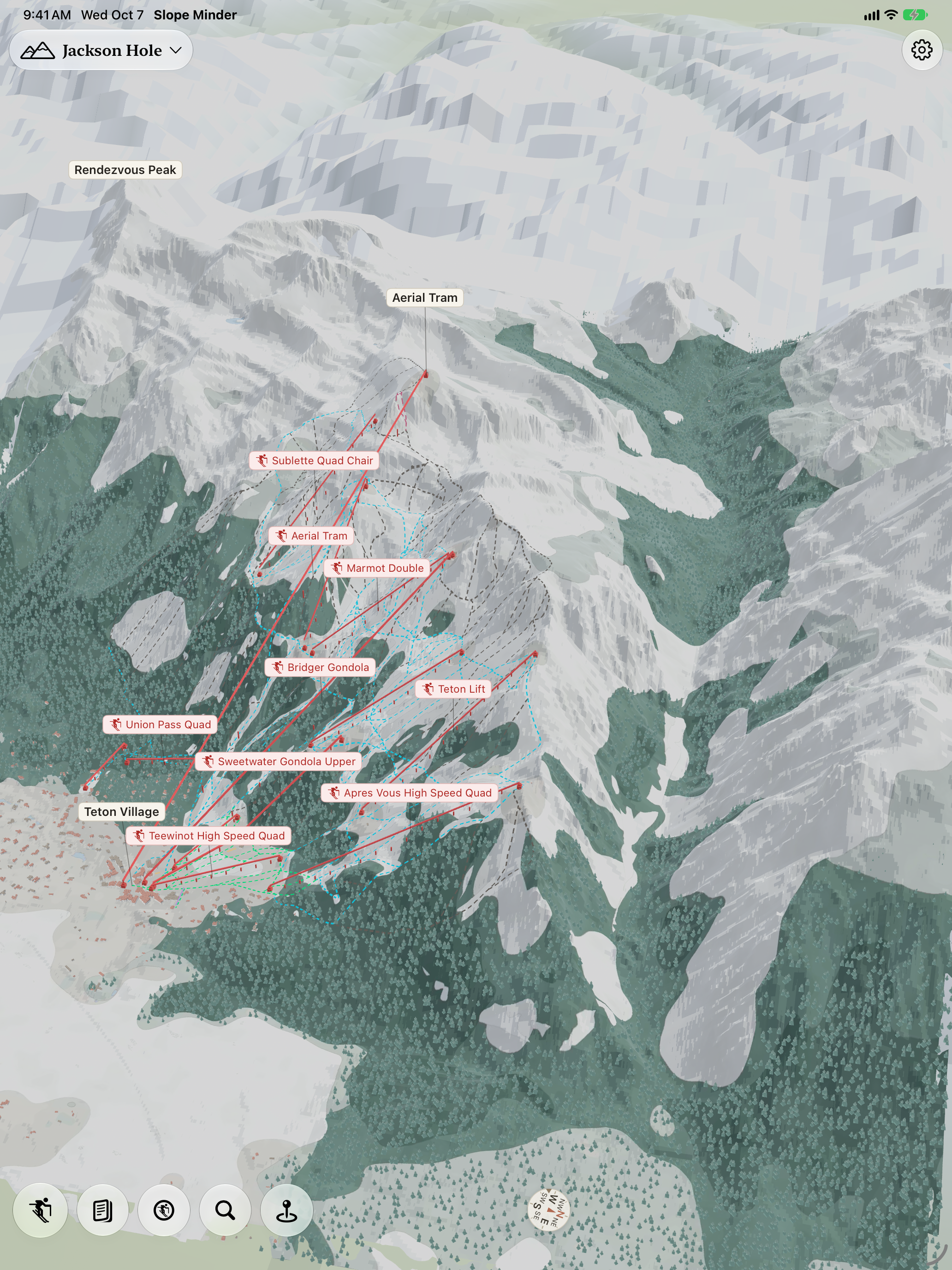
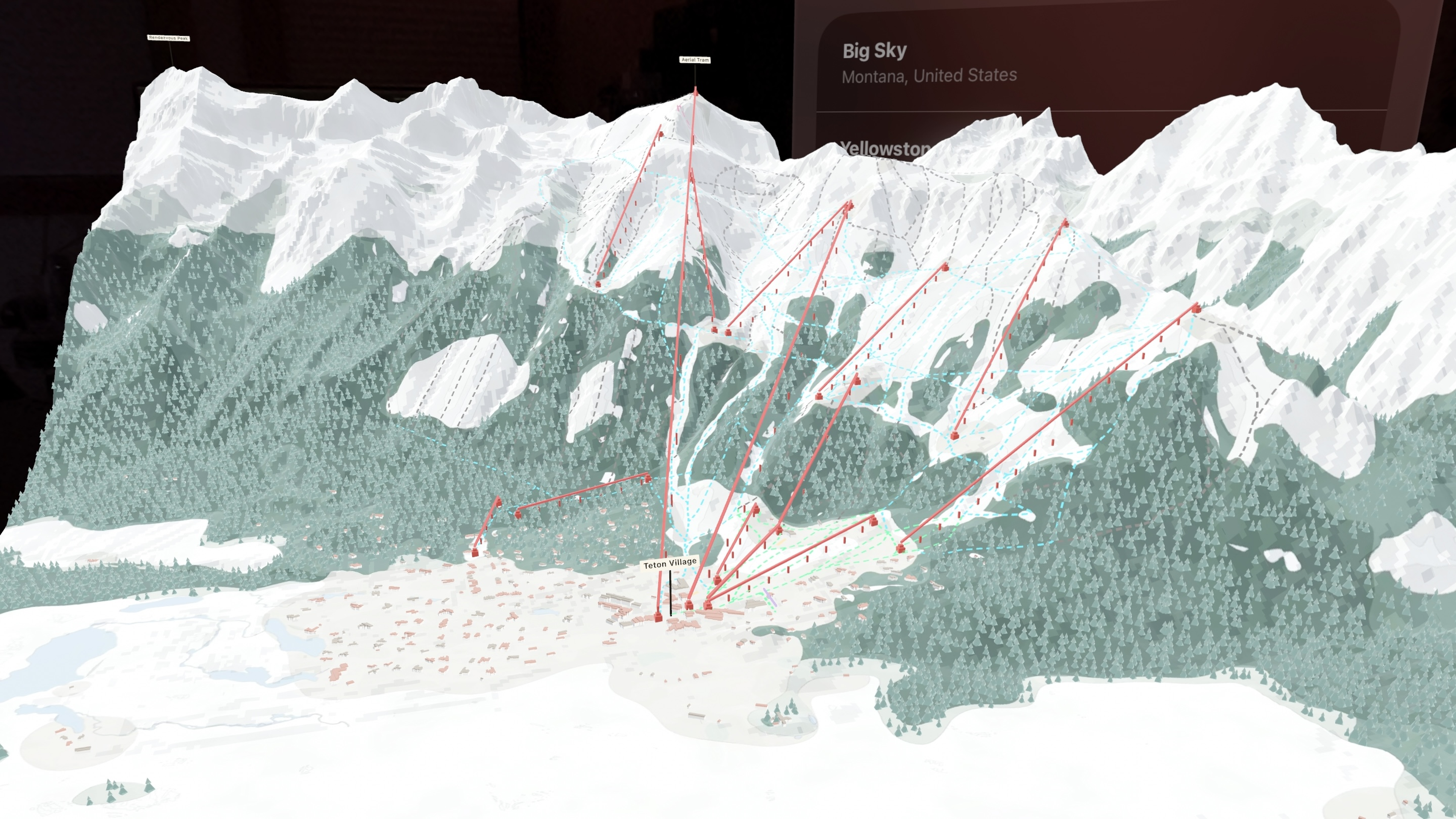
Slope Minder draws ski resorts as a painted 3D map, from lidar and aerial imagery, and puts your family and friends on the mountain. It knows what each of them is doing, riding a lift or skiing a run, without anyone pressing anything.
Questions: press@slopeminder.com. Everything on this page: one zip (93 MB: the stills, the icon, the video and a photo of Joe).
Big Sky, painted. Download the video (3840 by 1646, MP4).
The facts
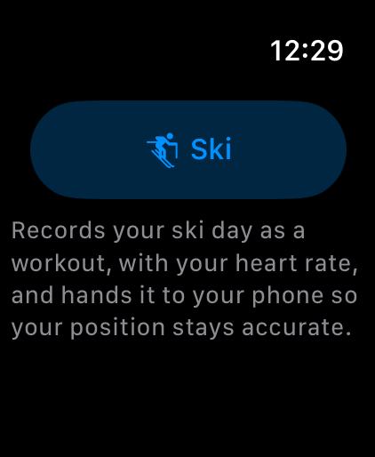
- On the App Store from October 23, 2026, for iPhone, iPhone Duo, iPad, Apple Watch, and Apple Vision Pro. Apple TV and the Mac follow on November 26.
- Price: free until the opening-day update in late November. Then hosting a group is $59.99 a year, or $99.99 a year for a family of up to six, and everyone in the host's group rides free. The map, your own days, and joining someone's group stay free.
- Resorts: thousands, around the world (4,685 on October 19). The newest are marked Draft in the app until someone has looked them over by eye. Anyone can ask for theirs from the app (Request a resort).
- Made by Joe Pantuso, in Big Sky, Montana.
How the maps are made
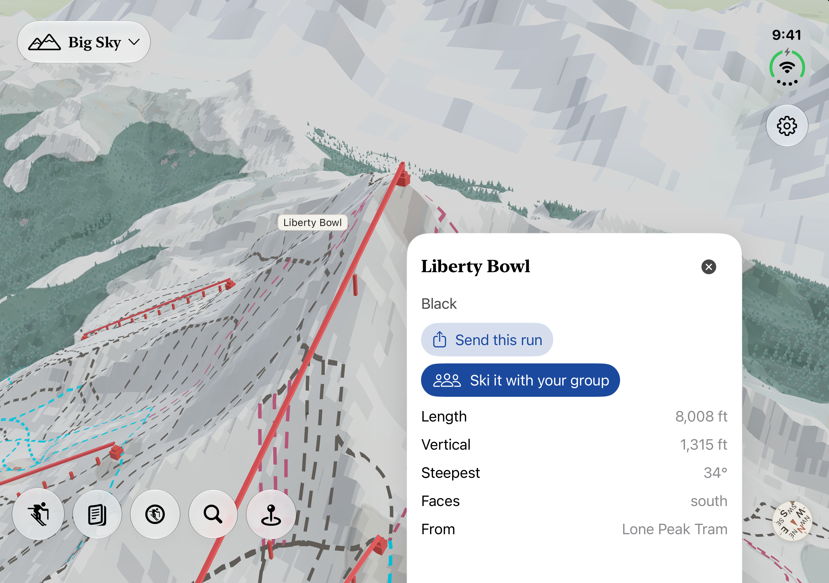
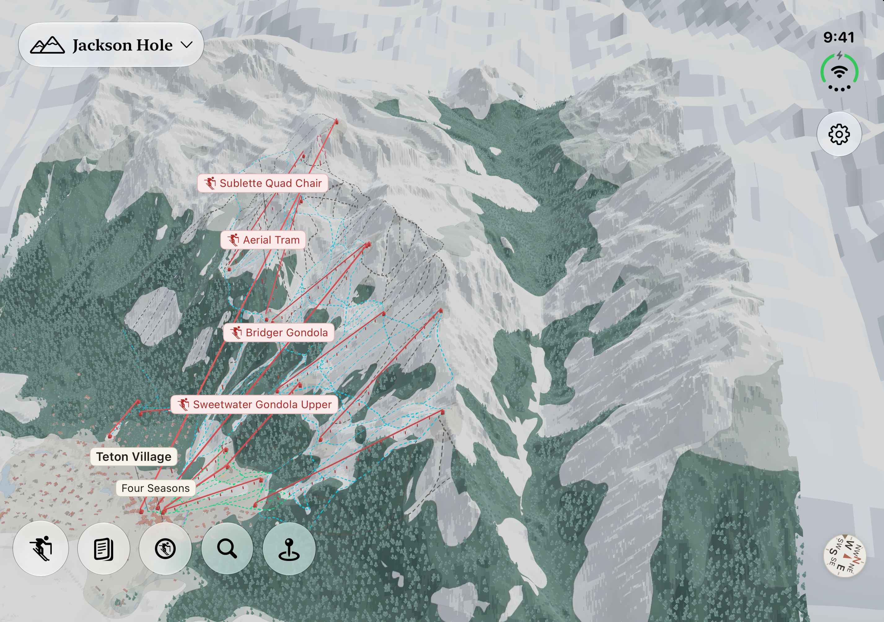
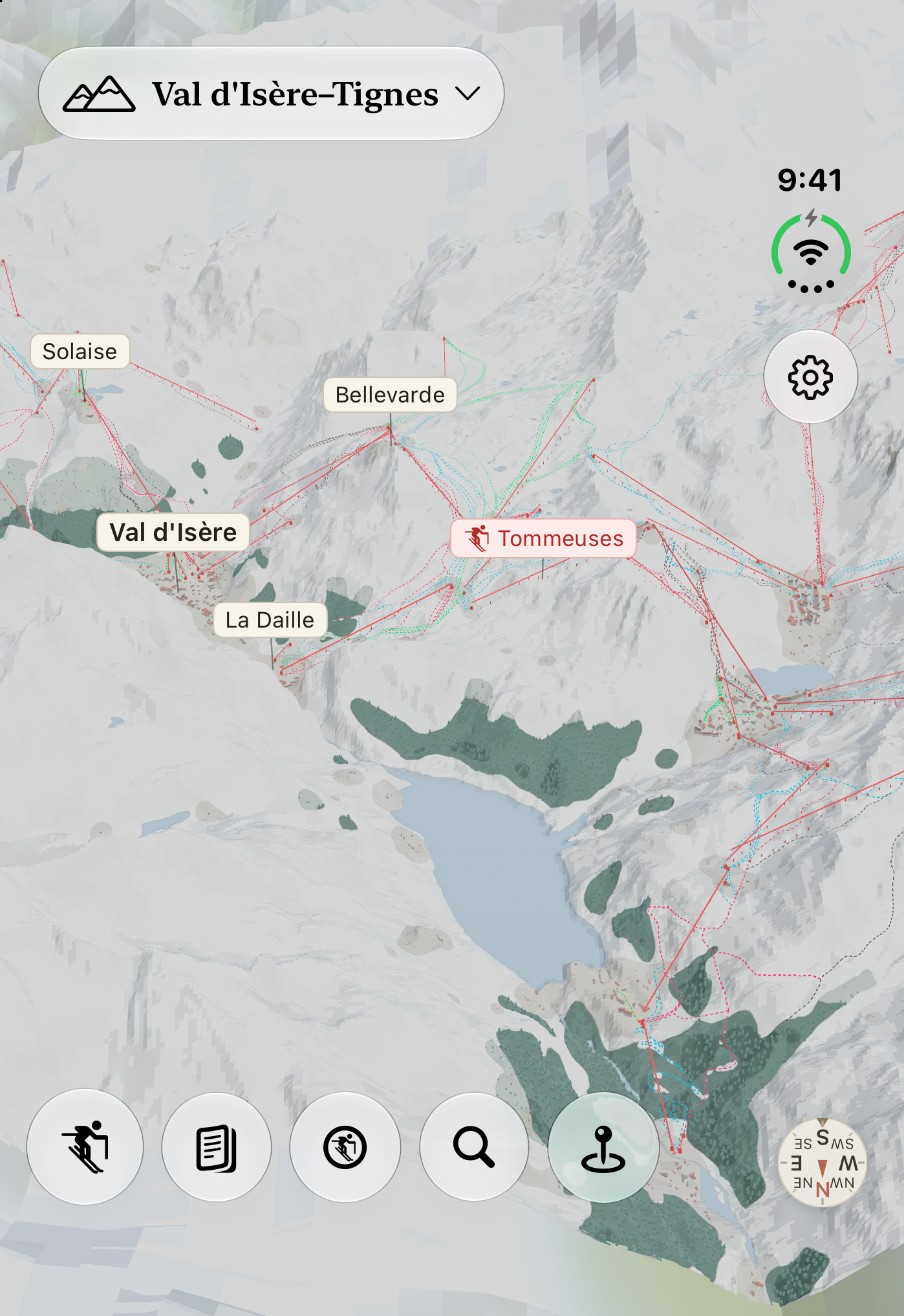
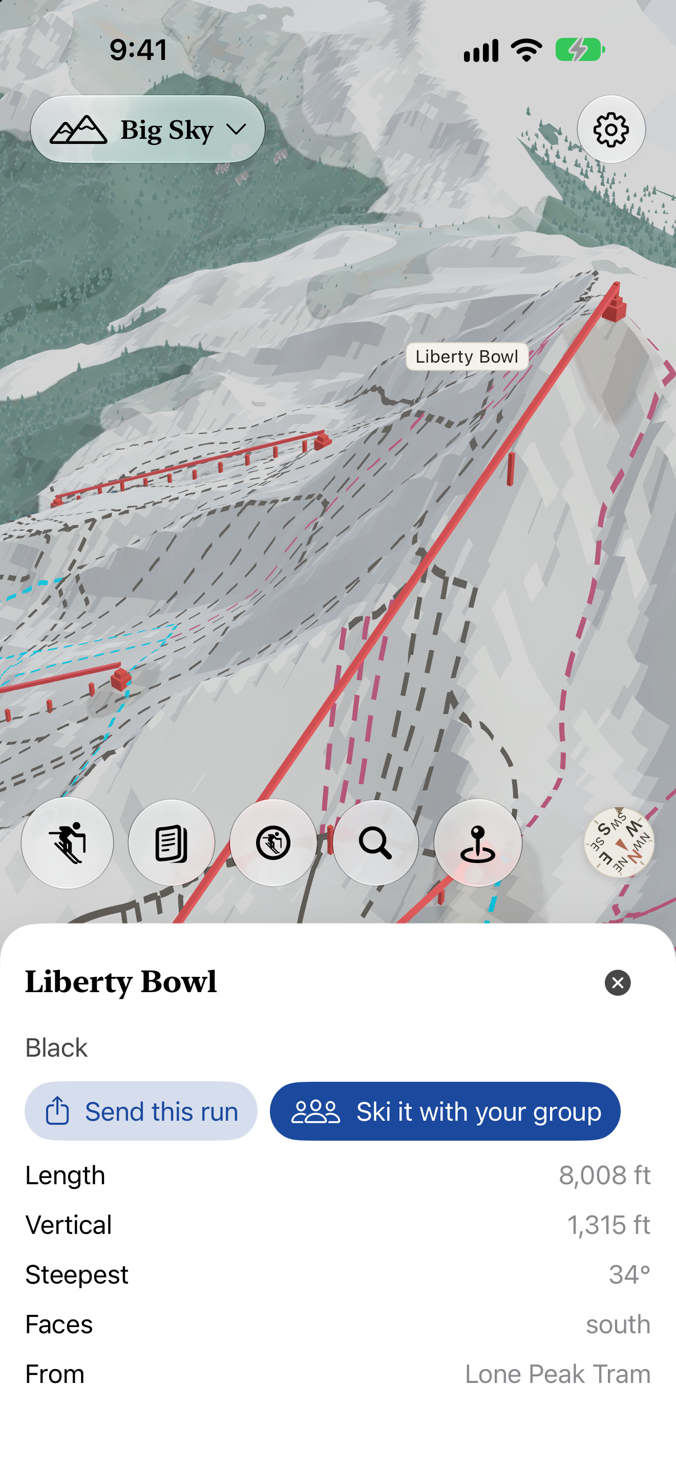
Each resort is rendered from public elevation data (lidar, where a country publishes it) and aerial imagery, in the style of a painted trail map, with the lifts and runs from OpenStreetMap. A renderer does the painting, so every resort gets the same treatment, the local hill as much as the famous one. You can turn it, tilt it, and tap any run for its length, vertical, steepest pitch, and which way it faces. Every source is listed on Data and sources.
The group
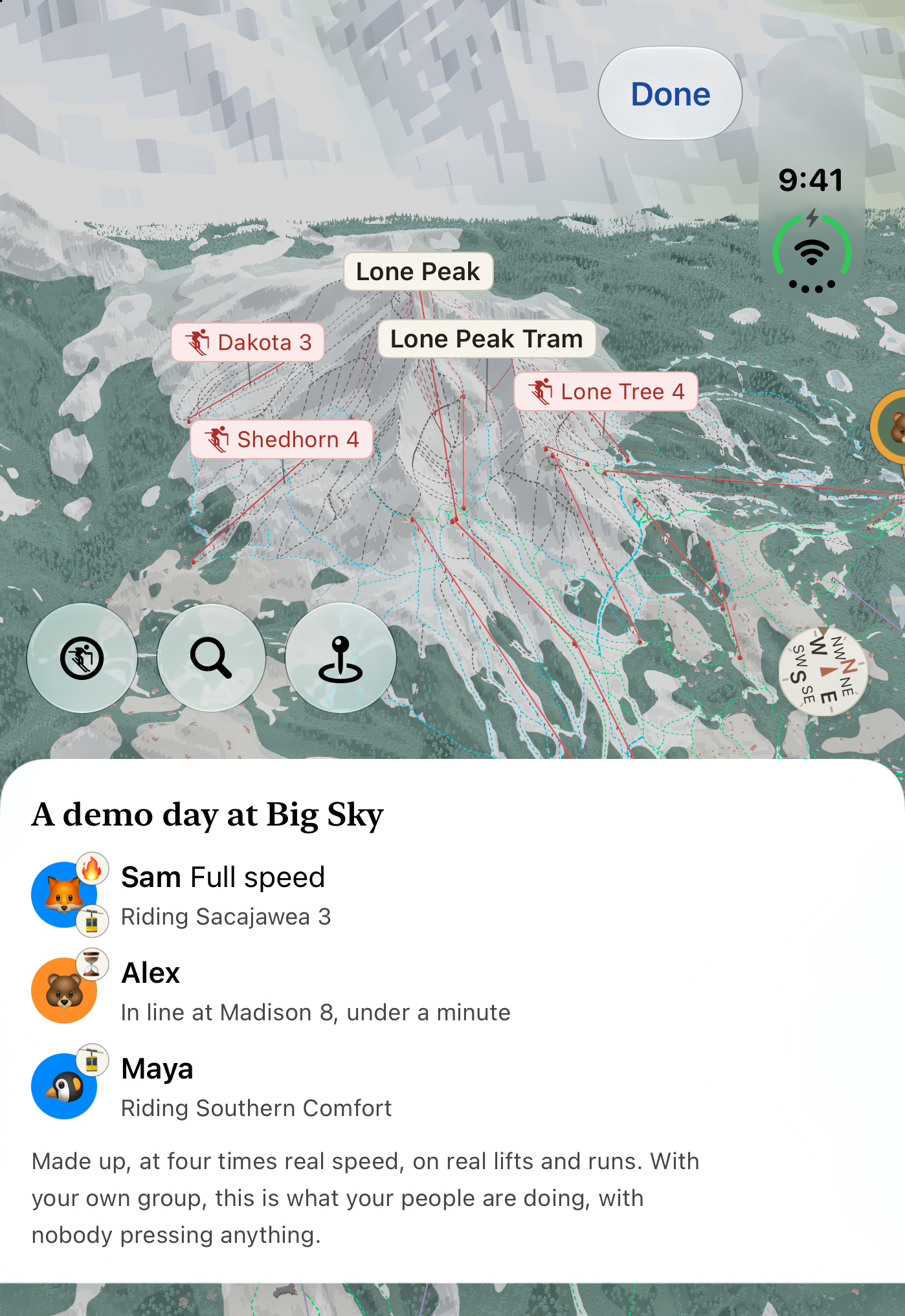
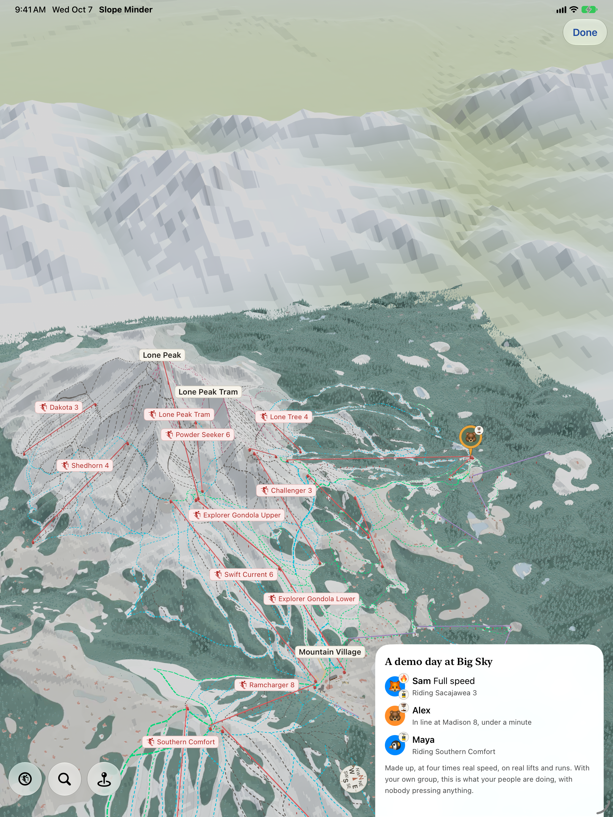
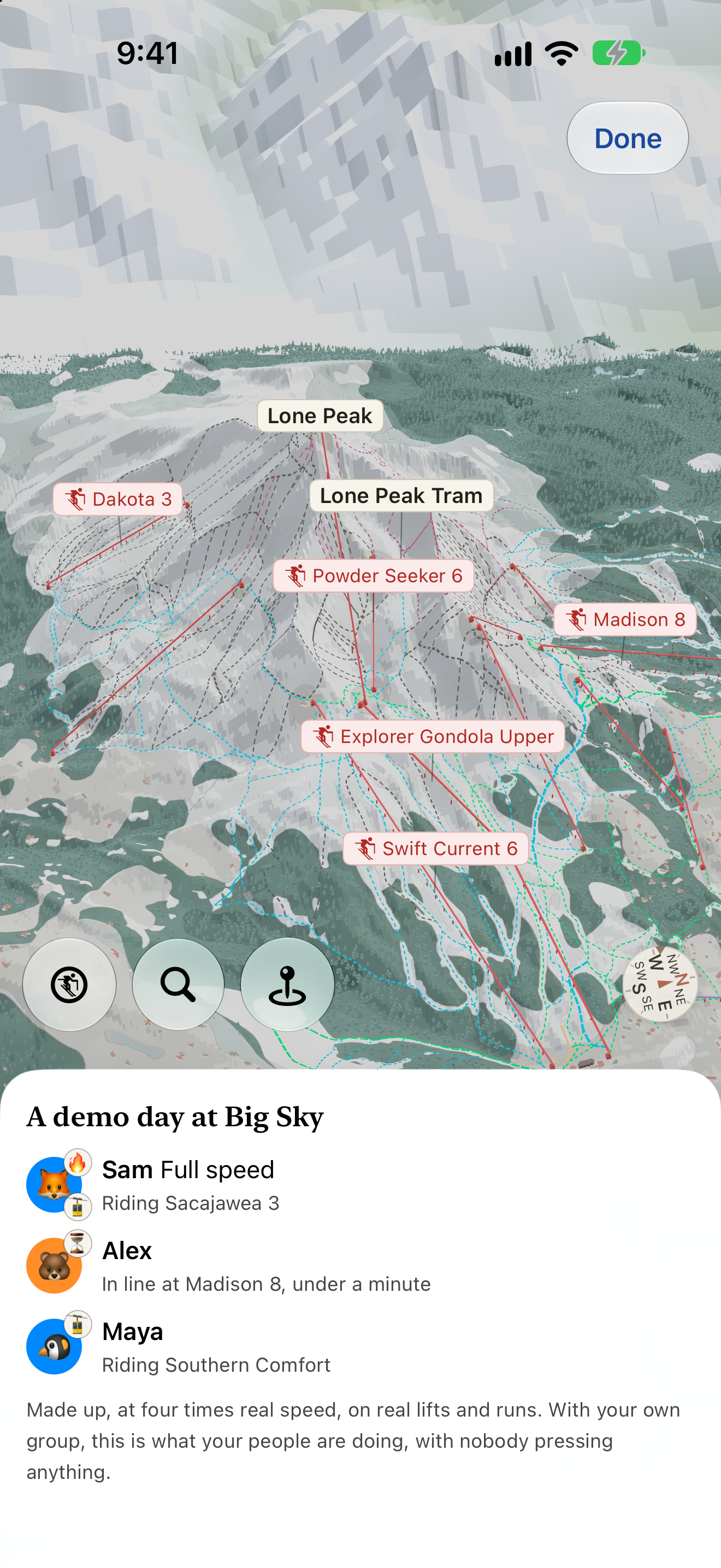
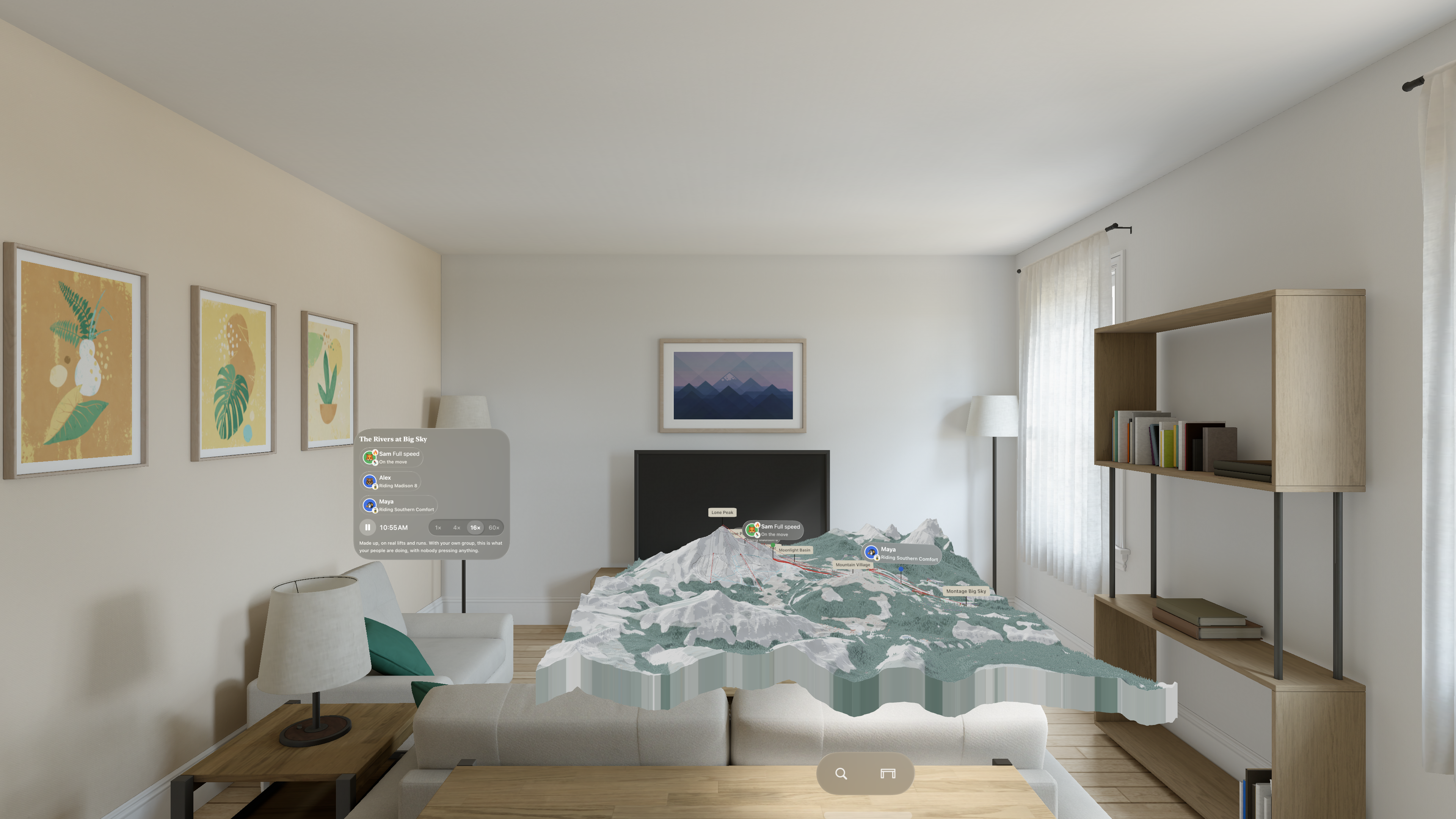
Start a group and the people in it see each other on the map, with what each is doing: riding Ramcharger 8, in line at Swift Current, skiing Liberty Bowl. The phone works it out from the lifts and runs on the map, so nobody presses anything. The group features are ready for opening day; there's no snow yet, so the app has a demo day, a made-up family skiing Big Sky, that shows them in October.
On iPhone Duo
Slope Minder was built for the open Duo: the mountain takes the inner display and the run you tapped rises beside it. In laptop pose, the details sit on the half resting on the table.
Coming to Apple TV
On November 26, Slope Minder comes to the TV at the ski house. Whoever stayed in, or came back early, has the group on the big screen while they ski: where everyone is and what they're doing, live. After dinner, the day plays back. The rest of the time it is a status board for the local resort.
Privacy
Positions are end-to-end encrypted between the group's phones, and the server never keeps them. You're visible only to the people in a group you share with, only while you share, and every group ends on its own. The privacy policy.
Who makes it
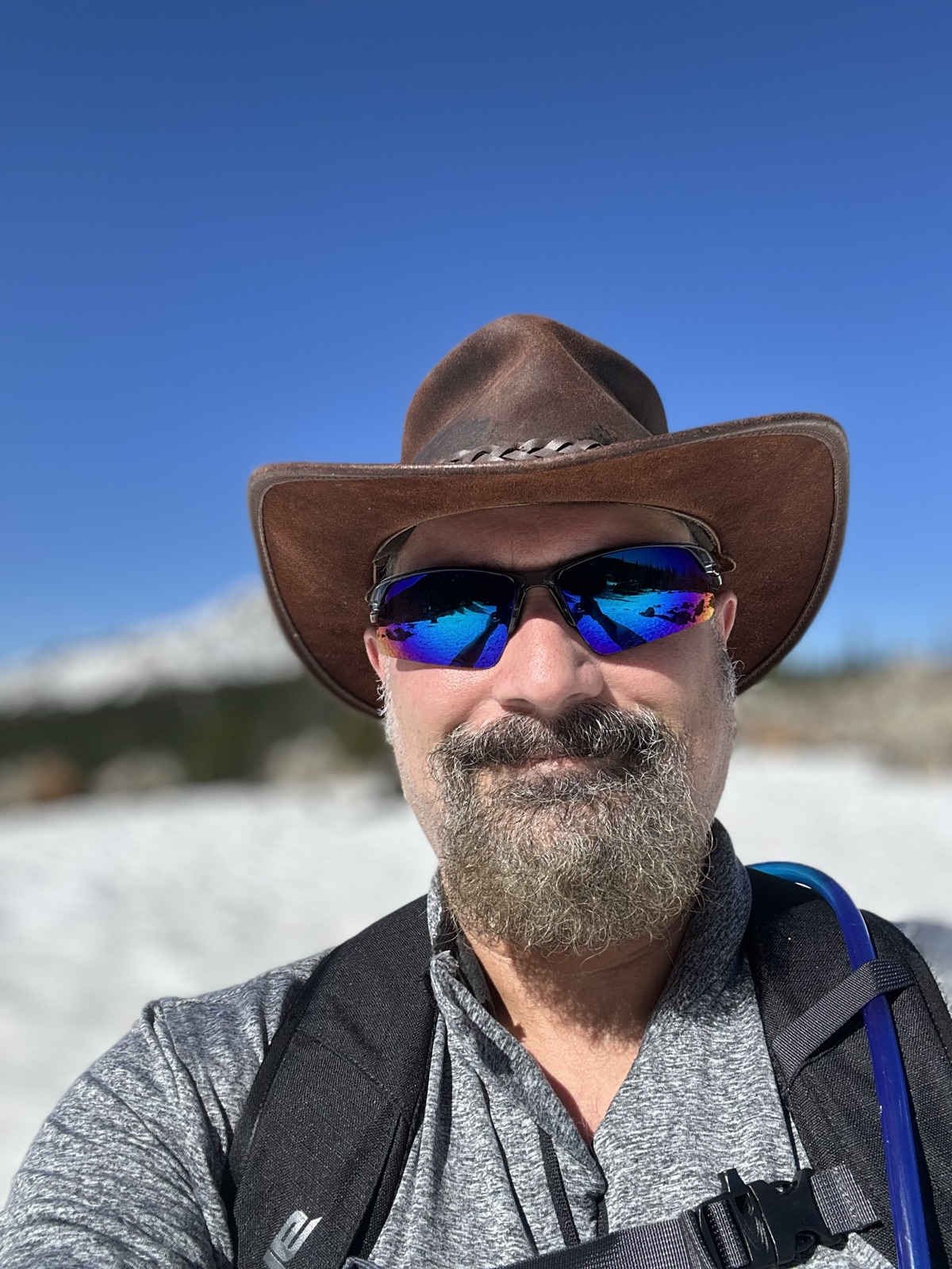
Joe Pantuso is a long time developer who retired to Big Sky, Montana, a couple of years ago. He is known for his work on the Doom editor and as part of the team that originated the .zip file. He builds apps for the area: How's the Canyon? for the 191 corridor, the Big Sky Field Guide, and Slope Minder, which he wanted for himself and his family.
Stills
Tap any still for the full-resolution PNG. They're free to use in coverage of Slope Minder.